And another update from the National Weather Service in Birmingham:
Here's the latest thinking from our late morning Area Forecast Discussion just before we send out our afternoon forecast products:
For tonight and Tuesday...we are concerned that temperatures have not warmed up today so far across the north...which calls into question where the surface freezing line will be overnight and
Tuesday. This gives more confidence to our thinking about areas
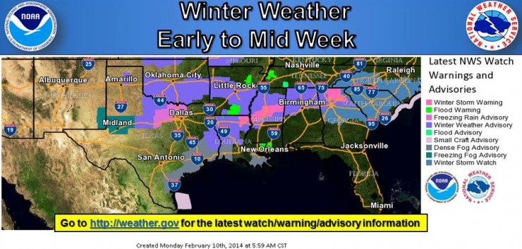
that will experience frozen precipitation tonight and Tuesday. We could be looking at moderate precip setting up near I-20 after midnight tonight and continuing through noon Tuesday...which results in an area of moderate precip very close to the surface freezing line. We are considering an upgrade to a winter storm warning for all counties currently in the Winter Weather Advisory due to the potential for greater accumulations of all types of frozen precip.
This would include Tuscaloosa...Birmingham...Anniston...and surrounding areas. We are also considering adding another row of counties in a Winter weather advisory to the south of the current Winter Weather Advisory due to the possibility of light freezing rain
accumulations overnight into Tuesday...and due to the uncertainty
of where the surface freezing line will end up overnight.
For Tuesday night into Wednesday night...there are some
indications that parts of north central Alabama may not get above
freezing Tuesday into Wednesday...which could result in a long
duration of freezing precipitation as the next system comes in. We
will provide more info on this second round of potential freezing
precipitation from Tuesday night into Wednesday night after we
look at things more this afternoon.